


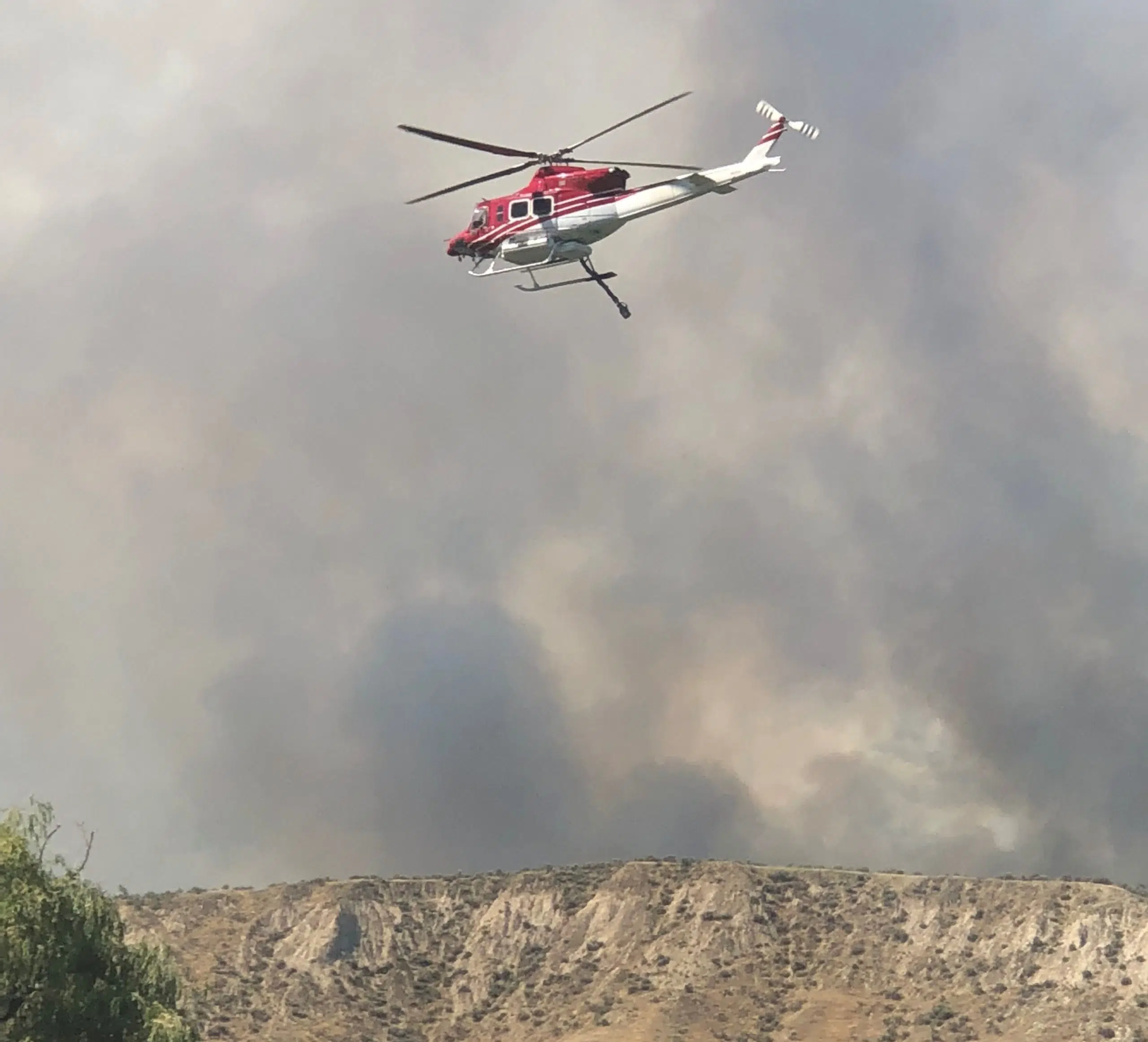
The blaze that took a run up Mount Peter and Mount Paul in Kamloops Thursday afternoon has been re-mapped by the BC Wildfire Service and is now 500 hectares in size.
Information Officer Claire Allen says the larger number is largely due to better mapping, and not due to major growth overnight.
“There was minimal growth on the fire overnight. We did have crews stay on the fire overnight and of course they will be bolstered by additional crews and aviation resources throughout the day.”
But she says, with a special weather statement issued for the region, fire activity could flare up later in the day.
Environment Canada Forecaster Lisa Ervin tells NL News a cold front packing strong winds may also pose a risk for dry lightning.
“With a vigorous cold front set to pass through the interior Friday evening. With that cold front we are expecting winds of 30-kilometres per hour gusting to 70-kilometres per hour gusting through the Kamloops Valley.”
Allen says wildfire crews will be trying to hit the blaze as hard as possible Friday before the cold front arrives.
“Certainly with the weather we are seeing it doesn’t look like we’ll see much of a reprieve from the heat anywhere in the southern interior for several days. Those first hours of any fire are critical for us. We always respond with all hands on deck.”
She says as temperatures climb throughout Friday, heavier smoke will likely be visible.


