


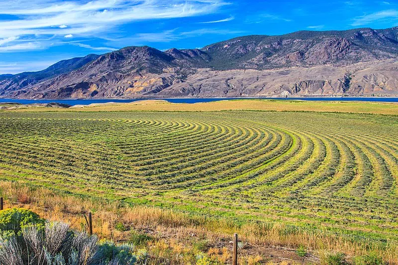
One Thompson-Nicola Regional District area director is concerned about some of what is considered agricultural land.
Spences Bridge director Steven Rice says there are rocky hillsides in the area that are included in the Agricultural Reserve Land.
“What we’re dealing with is really bad mapping to be honest,” Rice says. “The entire province was mapped in the early 70s, mostly aerial and mostly blanket mapping. What that meant is they sort of flew overhead and took over sections and put it all in the (ALR).”
Steven Rice says more needs to be done to look at ALR properties on a parcel-by-parcel basis.
“I have a 150 acres, for instance. Forty-seven of that is on the other side of the highway, it’s all rock and mountainside, and there’s about an acre flat there that somebody could do something with. Why shouldn’t that be remapped? And I’m just using that as an example because I’ve lived there for 20 years. But there’s many, many farms like that.”
Rice raised the issue of needing to remap some of the ALR at last week’s regional district meeting and says he also has done so at the Union of BC Municipalities.


