


What a difference a week makes.
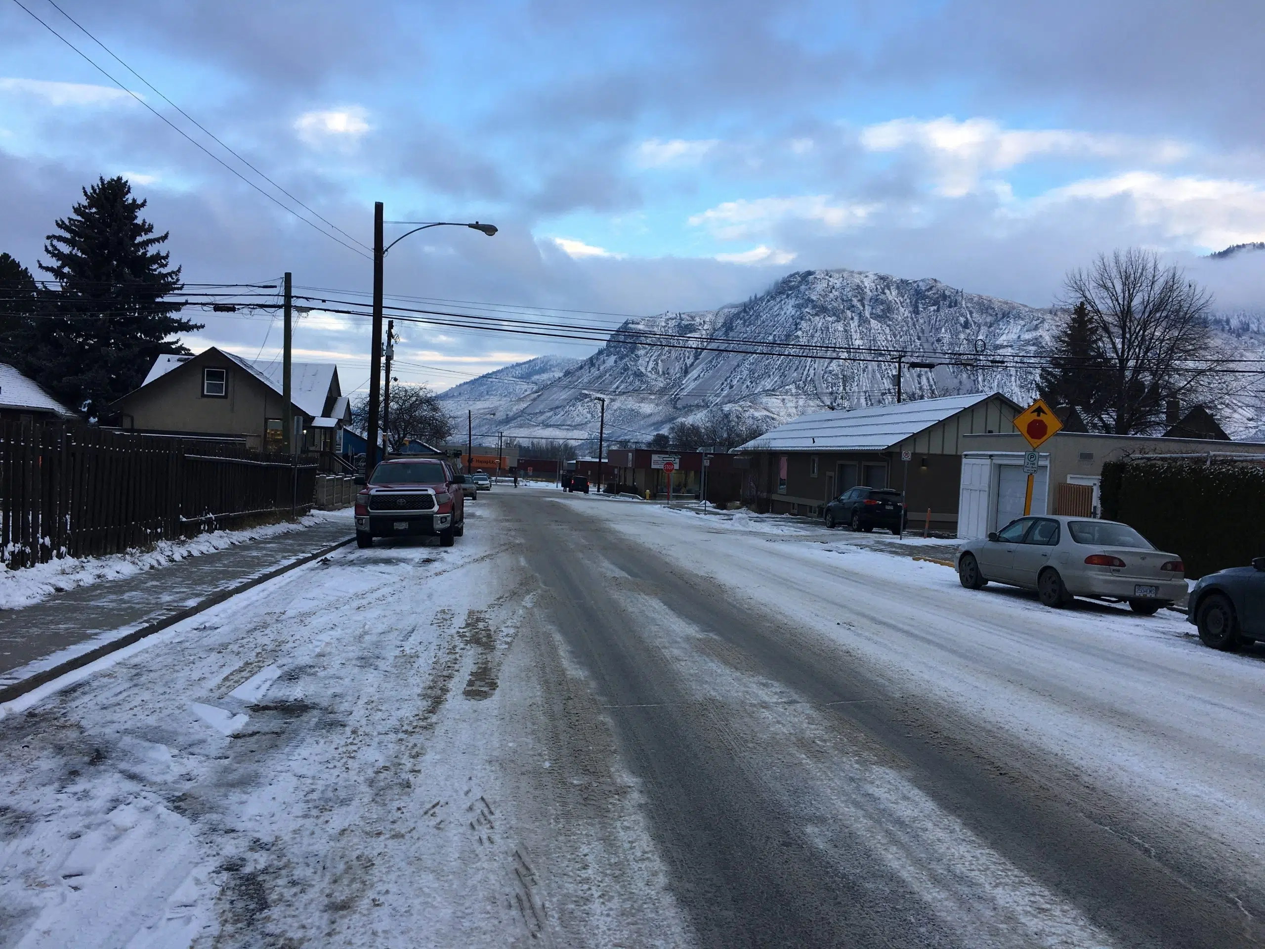
After a week of arctic air and temperatures well below normal, it’s going to warmer than normal in Kamloops over the next few days.
Environment Canada meteorologist Bobby Sekhon says today’s forecasted high is 5 C, which is five degrees above normal for this time of year.
“Might see some chance of flurries on Tuesday morning, but it might warm up enough to have a chance of rain-showers on Tuesday afternoon,” he said. “Wednesday night then could see a couple centimetres of snowfall, and then the rest of the week, it’s a chance of showers or flurries.”
“The daytime temperatures though will be quite warm actually, at the 6 C to 7 C range for Thursday and Friday.”
Sekhon says its a pretty significant change, although he admits it’s not that uncommon for the city to see these huge temperature swings.
“We can get these large swings in temperatures. Last week, quite cold under the arctic air. Arctic air has now retreated, and we’re into more of a southerly flow in getting warmer air coming up and that’s going to give us you know a warmer week here in Kamloops.”
And with temperatures above seasonal, Sekhon says Environment Canada isn’t forecasting any more significant snow events in Kamloops for the rest of this month.
He previously told NL News that while last week was cold, there were no temperature records that were broken.
Good Morning #Kamloops – here’s an @environmentca forecast that is all positive. pic.twitter.com/6kjNbbDTYP
— RadioNLNews (@RadioNLNews) January 20, 2020


