


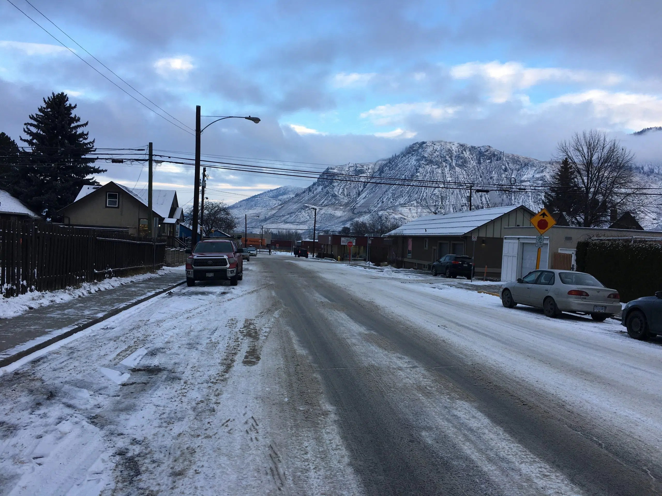
An Environment Canada meteorologist says the sudden increase in snow in the Kamloops area since yesterday is not usual for this time of year.
“It’s been since at least around new year’s where we’re going from the colder air mass to the warmer air mass and when we’re in that transition between colder and warmer air masses, that’s when we get a lot of snow and precipitation because there’s a lot of dynamics to that pattern with that temperature swing,” said Doug Lundquist.
Preliminary data from Environment Canada shows Kamloops came close to a snowfall record yesterday with 13.8 cm at the Airport. That puts it in second place, behind the old record of 17.8 cm set in 1896, and ahead of the 10.7 cm of snow that was set on Feb 5, 1959.
Lundquist says the transition from warmer to colder air masses in the winter months is usually accompanied by an increase in snow, even in the valley bottom.
“If we were just entirely in cold air more or more in the warm air, it wouldn’t happen quite as much, especially in the warmer air, it would tend to be more rain,” he added.
“So it’s because that transition zone from the really cold air to the warmer air has been over BC for the last month or more.”
He is recommending that people stay off the highways, especially the Coquihalla between Hope and Merritt which could see 35 cm of snow fall by the end of today.
While conditions might improve over the weekend, Lundquist says temperatures could again fall below zero next week, because of another spell of arctic air expected in Kamloops.
Editor’s note – A previous version of this story said 13.8 cm of snow that fell yesterday was a snowfall record. It’s actually the second most ever, behind the record 17.8 cm in 1896.


