


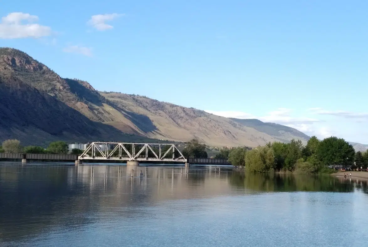
Environment Canada has issued a special weather system for the Kamloops area – not the news anybody was hoping for with the Thompson river rising each day with once-in-20-year river levels forecast in the next month.
The weather agency says a low pressure weather system is expected to bring strong thunderstorms to the Kamloops area late on Saturday, followed by significant rainfall on Sunday. The statement issued on Thursday encompasses the South Thompson, Shuswap and Nicola regions, among others.
The rain will follow a mini heat wave as temperatures in Kamloops are expected to reach 30 C on Friday and Saturday, before dropping to 16 C on Sunday.
“A significant change in the weather will arrive on Saturday as a low pressure system enters B.C. from Washington State. Ahead of the low Saturday afternoon, atmospheric conditions are potentially conducive to strong thunderstorms with frequent lightning and very strong wind gusts,” the weather agency said.
“Widespread rainfall will accompany the low pressure system Saturday night and Sunday which may strain local rivers.”
The city will be closing the three city-owned boat launches tomorrow because of high waters and debris on the river. Mayor Ken Christian says the city continues to work with the BC River Forecast Centre and he is once again urging Kamloopsians to stay away from flood protection measures in areas like Riverside Park.
You’ll find more information on river flow forecasts, as well as flood warning and advisories here.


