


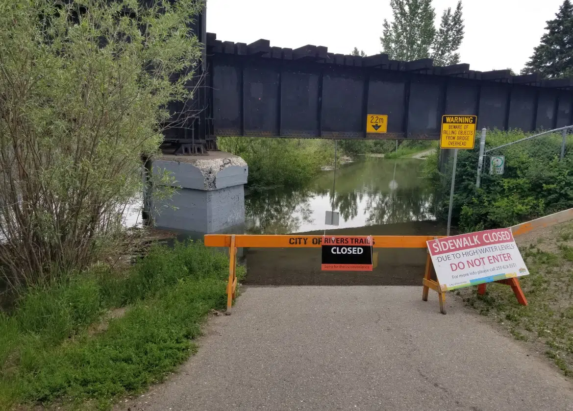
Flooding on Rivers Trail between Riverside and Pioneer parks in May 2020 (Photo via @natevk/Twitter)
(Photo: Twitter: @natevk)
As the Thompson rivers keep rising, Kamloops city staff say it’s hard to predict if evacuation orders or alerts will be needed.
Utility services manager Greg Wightman says either way, people need to be prepared for very high water.
“Somewhere between 1999 and 1972, just to give some context to what we’re talking about. It’s going to be a very high water year, so we’re hoping that people are able to protect their homes and in doing so keep themselves safe, and certainly avoid the need for any evacuations,” Wightman tells NL News.
“To anybody who is in and around the water and any stream, just be extremely cautious. It’s very dangerous out there right now, streams flowing as fast as they are. Stay well back of the river banks if you can.”
Wightman says smaller creeks in the Kamloops area that feed into the rivers are at their peaks. He says that snow has melted that feeds into Campbell, Peterson and Noble creeks, with snow still melting into Heffley Creek.
But he says depending on rainfall it could take longer for those creeks to start receding.
A high stream flow advisory is in place for the North and South Thompson rivers and for the Clearwater River, which feeds into the North Thompson.
There’s also a flood warning for the Salmon River near Salmon Arm, which eventually leads into the South Thompson.
At time of posting, the Thompson River west of the Overlanders Bridge is flowing at 6.876 metres, according to real-time federal data. That’s down slightly from a peak, so far, of 6.973 m that was reached on Thursday afternoon.
This is what it looked like around 1pm today: pic.twitter.com/aOZMLaSbaW
— Nathan (@natevk) May 28, 2020


