Forecasters say the worst may be over for the spring flood risk in Kamloops.
BC River Forecast Centre section head Dave Campbell says the North Thompson is past its peak and the South Thompson is very close to peaking as well.
“Barring some significant snow which is possible, especially in June, we do think that the North Thompson has reached it’s peak for the year,” Campbell says.
As for the South Thompson, “we’re seeing declining flows on the major tributaries, the Shuswap River, the Eagle River, the Adams River, so again that’s a really positive sign. So we’re very close to our peak, if not at it, on the South Thompson. Certainly our modeling through this week is suggesting that things will hold fairly steady.”
A high streamflow advisory is in place for the South Thompson River and the Shuswap River. However as of yesterday a similar advisory was called off for the North Thompson River, Clearwater River and smaller tributaries, as well as the Salmon River near Salmon Arm and the Bonaparte River between Ashcroft and Cache Creek.
“We started to see some signs of stabilizing in the rivers and tributaries in the North and South Thompson, so that’s been positive for the longer-range outlook. But we do still know that the flows are high and the snow is there, but we are hopeful that we’ll see continued moderate flow over the next week or so here.”
Campbell says it’s a little early to stand down, but he says Kamloops and most areas of the province have seen the flood risk start to drop in recent days.
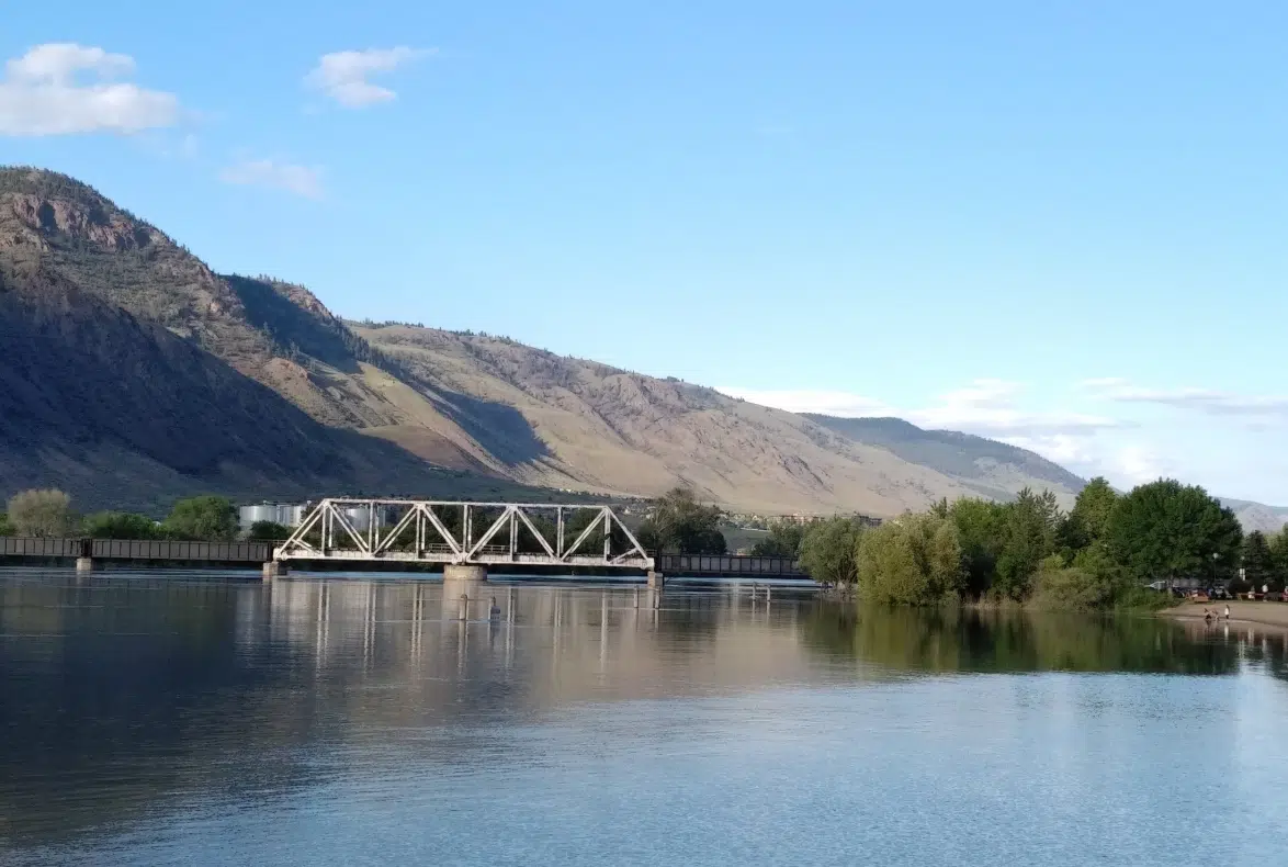
As of 8:45 a.m. today, the Thompson River west of the Overlanders Bridge is at 6.849 metres (22.5 feet). That’s more than two feet lower the the river’s peak so far this spring, which was hit last Thursday.


