


A high streamflow advisory is back in place for the North Thompson River including the Blue River, Clearwater River, and surrounding tributaries.
The BC River Forecast Centre says the advisory is also in place for the Thompson River at Kamloops downstream to Spences Bridge because of rising water levels as a result of increased rain.
As much as 30 millimetres of rainfall has been recorded in parts of the North Thompson watershed.
The ongoing snow melt is also contributing to rising water levels, which are expected to rise throughout the day in the North Thompson headwaters and downstream through Clearwater and McLure for the next few days.
A high streamflow advisory remains in place for the South Thompson River as well as its tributaries the Shuswap River, Shuswap Lake, and Adams River after as much as 10 mm of rain was recorded.
“On the Thompson River at Kamloops and downstream, continued high flows from the South Thompson River, and rising flows from the North Thompson will lead to a period of rising flows over the next few days,” said the River Forecast Centre.
“Flows are expected to reach around, or slightly higher, than previous peak levels experienced earlier this year.”
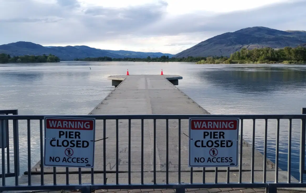
As of 8:40 a.m. today, the water level on the Thompson River near the Overlanders Bridge was 7.473 metres, down slightly from the peak of 7.517 metres recorded on June 4.
River Forecast Centre Section Head Dave Campbell previously told NL News that the worst of the flood risk in Kamloops appears to be over, but notes that we’re still a few weeks away from the flood risk ending.
As always, he’s asking people to stay away from fast-flowing rivers and potentially unstable riverbanks during the high-streamflow period.
For the latest conditions from the River Forecast Centre, go here.


