


Environment Canada has issued a special weather statement for parts of the B.C. Interior with heavy rain in the forecast right through to Thursday.
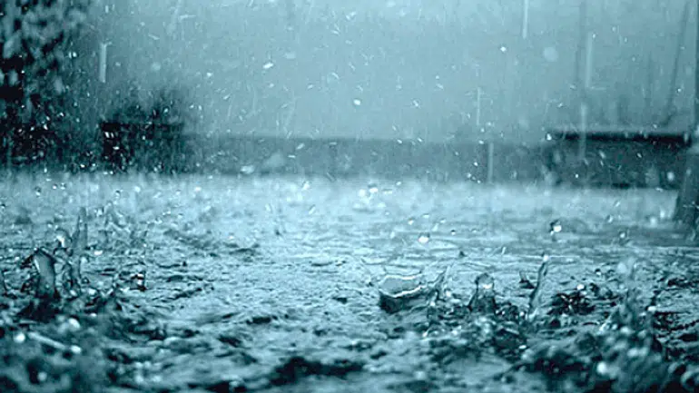
It is currently calling for between 20 and 40 mm of rain to fall, with the higher amounts expected over the mountains. In Kamloops, Environment Canada says to expect about 10 mm of rain today, and another 15 mm on Canada Day tomorrow.
“However, there remains some uncertainty about just how much rain will fall during this prolonged event,” said the weather service. “In addition to the widespread synoptic rain, thunderstorms will have the potential of adding 15-25 mm over short periods.”
Forecasters say there is also significant concern for moderate rain and flows in the Quesnel River (Cariboo Mountains), the North Thompson (Blue River/Clearwater region), and South Thompson (Shuswap).
“A low pressure system developing over Southern Alberta today will intensify as it moves northward into Northern Alberta by Wednesday evening. The system will funnel rain across the central interior,” it added.
“Although the rainfall amounts may not be exceptionally heavy, the severity of this event pertains to the resulting rising rivers.”
Flood watches are in place for both the North and South Thompson rivers as well as the Thompson River downstream towards Spences Bridge.
14:25 EnvCanada issued statement #Weather #Kamloops #BCStorm https://t.co/wzcgFEMnHG
— Kamloops (@ECAlertBC45) June 30, 2020
The River Forecast Centre has UPGRADED to a Flood Watch for the North Thompson River and Thompson River at #Kamloops. More details at: https://t.co/KOpAomlGJJ #BCFlood
— Emergency Info BC (@EmergencyInfoBC) June 30, 2020


