


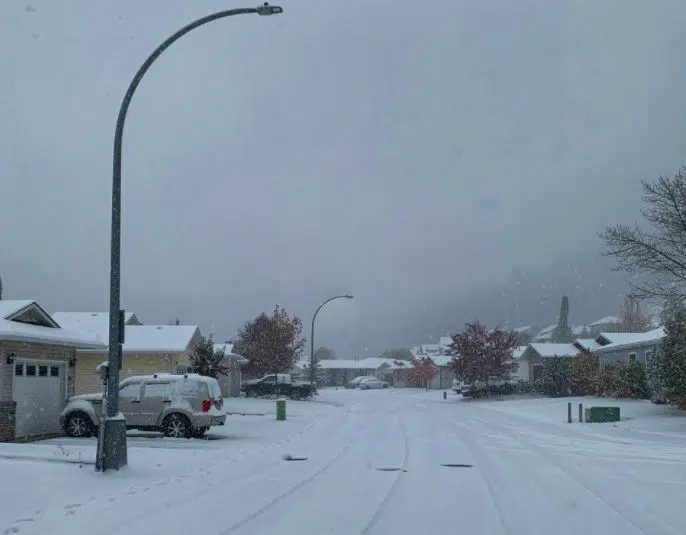
Snowfall in Kamloops on Oct. 23, 2020. (Photo: Twitter: Jeff Sopel)
Heavy snowfall is expected in the Kamloops area overnight tonight.
But Environment Canada forecaster Doug Lundquist says the first flakes will fall in Kamloops before the end of the work day for many people.
“This is a really great reminder for the last stragglers who haven’t prepared their brain or their vehicles and equipment for winter. I want people to go and check DriveBC, and stay really safe. If it starts to get icy you can even slip on walks and such. It is a shift into winter kind of thinking for us in the valley bottom. Moreso than the last snowfall which melted away.”
Forecasters all calling for five-to-10 centimetres of snow in Kamloops by tomorrow, and up to 15 cm for the North Thompson valley, where a snowfall warning is in place.
Lundquist says it is a little earlier than normal to be seeing snowfall in Kamloops like we have in the past two-and-a-half weeks. In October, 13.2 cm of snow fell at the Kamloops Airport, which is the second-highest amount on record.
“This one’s a little bit more reasonable than what we had at the end of October,” Lundquist says about the snow on the way for tonight.
“But it is still pretty early, and I think some of it will stick. Because we’re not going to get well above zero. I think we’re going to have it stick around for a while. Maybe that second snowfall that’s coming later in the week will come with even more warm air that will help to melt things back.”
Similar snowfall warnings have also been issued for Metro Vancouver, the Cariboo and the North Coast, with a special weather statement in place for Whistler.


