


After heavy snowfall, wind, highway closures and power outages on Sunday in the Kamloops area, weather warning remain in place overnight.
Since late Sunday night, 40 to 45 centimetres of snow fell at the Coquihalla Summit south of Merritt, according to Environment Canada, and a snowfall warning remains in place. The forecast is calling for heavy snow to turn into flurries in the evening.
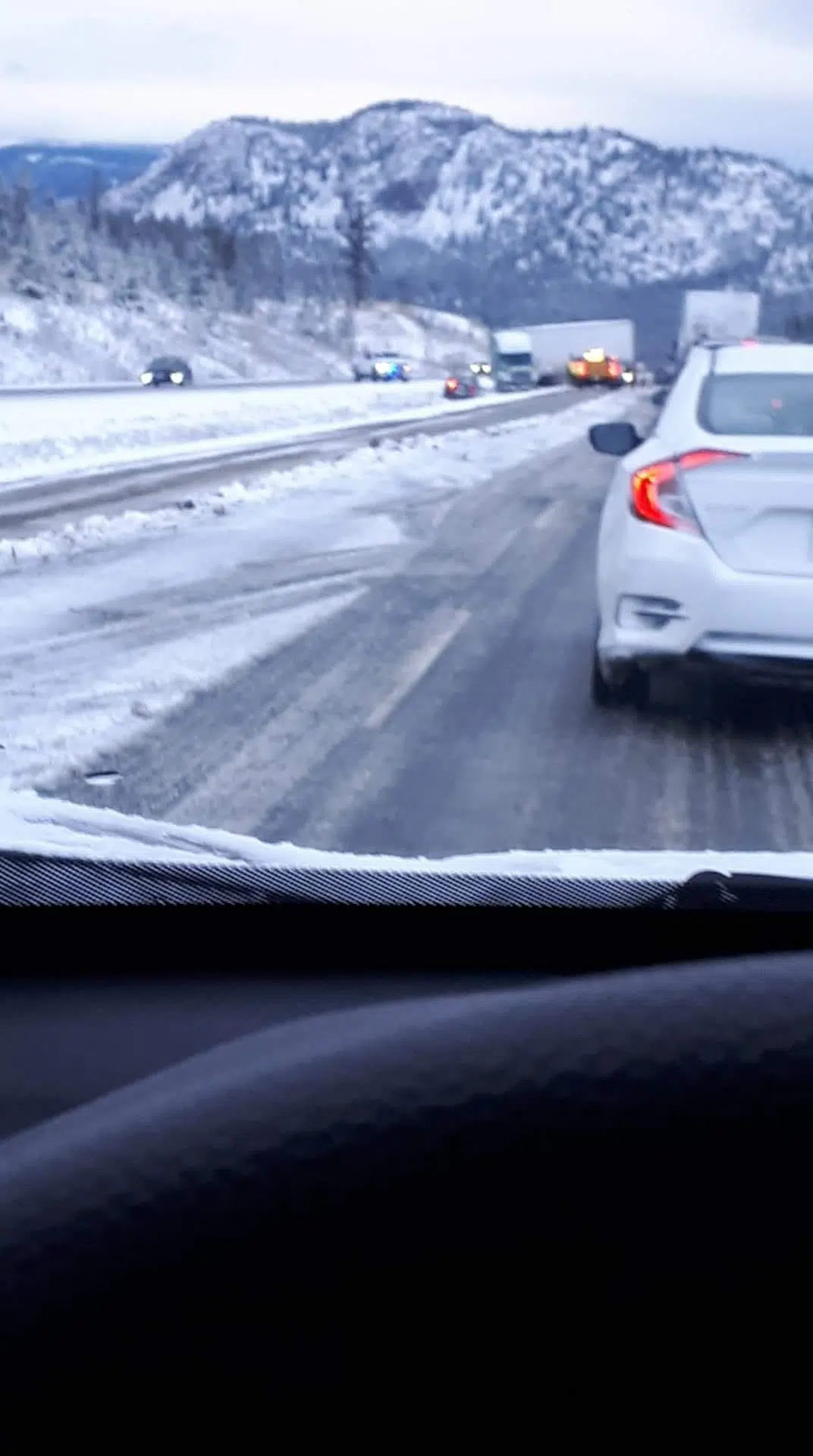
The Coquihalla is closed southbound from Merritt to Hope because of multiple accidents, according to DriveBC, and at time of posting there was no estimated time of reopening. Meanwhile, northbound traffic on the Coquihalla is down to a single lane near the Inks Lake brake check, between Merritt and Kamloops, because of a accident. A photo sent to NL News shows a semi-truck jack knifed just north of the brake check.
Between Revelstoke and Golden, the Trans-Canada Highway is closed at Glacier National Park until 12:15 a.m. for avalanche control work, with no detour in the meantime.
North of Kamloops, a “flash freeze” warning is in place for the North Thompson valley tonight, as pooling water and slush is expected to freeze overnight as temperature drop. “Flash freeze warnings are issued when a rapid drop in temperature is expected, that can cause water from rain or melted snow on streets and sidewalks to quickly freeze,” the forecast says.
As of 9:45 p.m., a special weather statement has ended for the South Thompson valley; it was in place for gusting winds up to 80 kilometres per hour.
After temperatures plummeted in the Kamloops area Sunday afternoon, it will be a slow warm-up to start the work week. The forecast calls for a high of six degrees tomorrow, with a chance of flurries overnight and into tomorrow morning and winds gusting up to 60 km. Tuesday is expected to see a forecast high of 12 degrees and more seasonal conditions.


