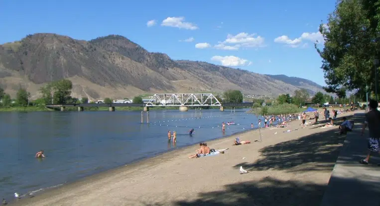
The risk of drought is rising in Kamloops and the southern Interior.
BC River Forecast Centre section head Dave Campbell says there’s been very little rain in the Interior since March 1st.
And he says hot spells have sped up the spring snowmelt.
“That trend of an early melt is straight across the board. From Kamloops across to Merritt, including the Monashees, and then through the Okanagan, Similkameen, and Boundary country. All of that region really has seen that early melt, and tends to have less really high elevation terrain.”
Campbell says in Kamloops, the snowpack for the South Thompson watershed was 22 per cent below normal on May 15th, which was the lowest in the province.
“Looking at South Thompson, the snowpack overall this year was closer to normal. And that shift to the lower side of things really reflects the shift to an early melt. And I think at this point, we would expect that trend to continue. And I think the biggest implication from flows over the summer, is going to be that the influence from the snow is going to end earlier.”
Campbell says, pending any significant rainfall, the North Thompson River will be peaking within the next two weeks, and the South Thompson River is expected to peak in mid June. That would be about one-to-two weeks earlier than normal for both rivers.
He says the River Forecast Centre is preparing to move towards a drought response, and should be updating its drought information portal later this week.