


A two-week long heat warning that was in place for most of the province, including the Kamloops area, was officially lifted this morning.
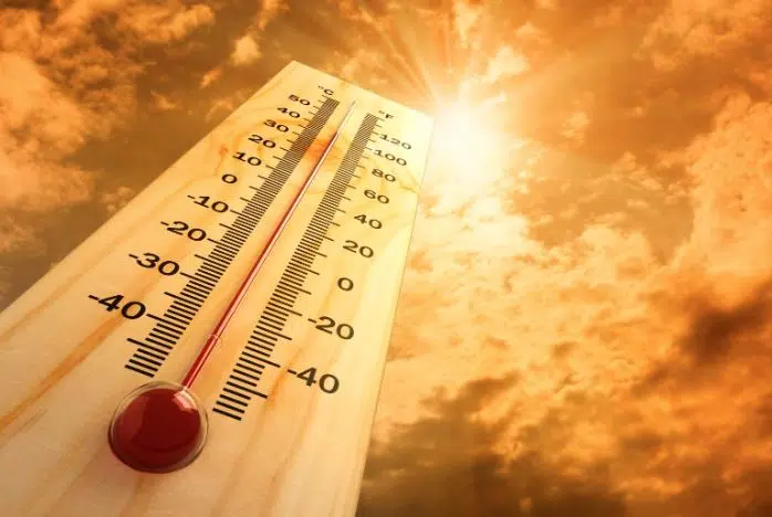
The heat warning was put in place on June 23 as parts of the province braced for near-record high temperatures. The city of Kamloops reached a record high 47.3 C last Tuesday, June 29 – the third straight day it set a new record temperature.
That same day, the Village of Lytton reached 49.6 C – the hottest temperature ever recovered on Canadian soil.
“It’s the longest ever heat warning I’ve seen in my career and I’ve been doing this for 34 years,” Environment Canada meteorologist Doug Lundquist said. “I’ve never seen the heat like we had and I’ve never seen it last as long as this.”
In the Southern Interior, a heat warning is issued when there are two or more consecutive days with daytime maximum temperatures at 35 C or warmer along with nighttime minimum temperatures of at least 18 C.
“We decided that even though the daytime high weren’t where they needed to be, the fact that it didn’t cool off overnight, we kept [the last heat warning] going longer than it might have been,” Lundquist added.
“We wanted it to cool down really good overnight or have it cool enough for a few days that people could get their houses that don’t have air conditioning down to where it needed to be.”
Moving forward though, he tells NL News it is going to remain hot for the foreseeable future.
“We may have to issue the heat warning again, but it won’t be anything like what we saw last week. But the sheer fact that its going to be 30 to 35 degrees till at least next Tuesday and maybe beyond is concerning for sure,” he added.
“The heat that we’re coming up with now – notwithstanding that its coming for a long time – its pretty much more typical. So this is not extraordinary, but the length of heat is what worries me and the dryness. We’re not really replenishing the dry conditions that we’ve gone through this spring and early summer.”
Environment Canada is calling for a high of 30 C today and a low of 17 C with the risk of thunderstorms in Kamloops. As of publishing, a severe thunderstorm watch is in place for parts of B.C., including the North and South Thompson.
Temperatures are expected to reach a high of 35 C and a low of 17 C expected from Friday to Monday.


