


High water on the Thompson River in Kamloops in 2020. (Photo via Victor Kaisar)
The BC River Forecast Centre has issued a high streamflow advisory for the North Thompson River including its tributaries around Barriere and Clearwater.
It has also issued a similar advisory for westward flowing rivers and tributaries in the Cariboo Mountains including the Quesnel and Horsefly rivers.
A high streamflow advisory means that river levels are rising, or expected to rise rapidly, but no major flooding is expected.
“Rainfall and snowmelt across the region has led to on-going rises in rivers draining from the Cariboo Mountains,” the River Forecast Centre said, noting there is a ‘significant’ snowpack still in the mountains.
“Snow monitoring locations at Yanks Peak is at record snow pack for this time of year based on a 25-year monitoring record.”
The River Forecast Centre says given the amount of snow remaining, it could take one to two weeks before the rivers reach their peak levels.
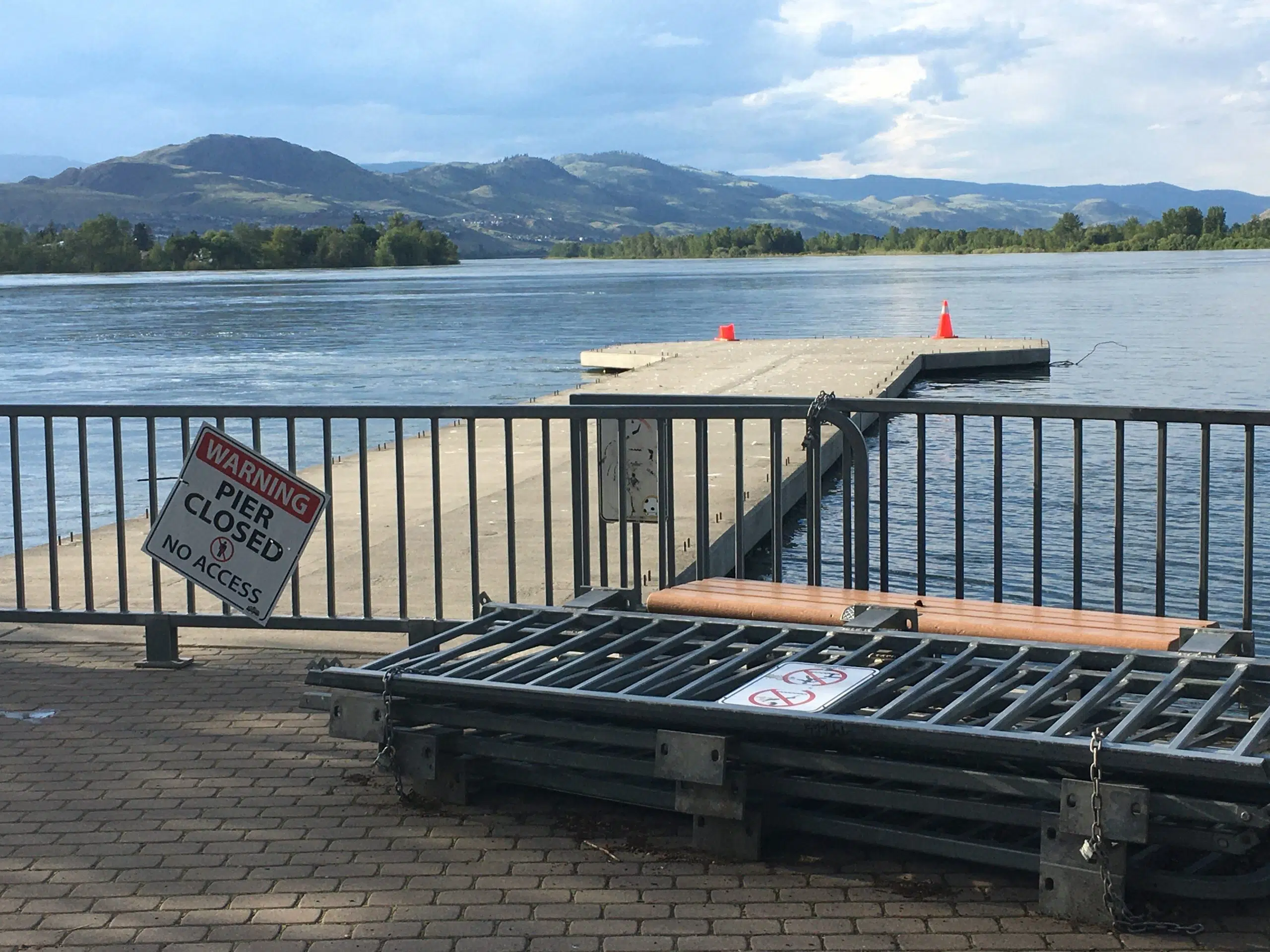
The Thompson River in Kamloops has risen about 1.2 metres since the start of this month, as the City braces for a flood as bad as 1999 – a flood which is noted on the high water markers at Riverside Park.
“Continued near-seasonal to below-seasonal temperatures are expected through this week, with continued moderate rates of snowmelt expected,” the River Forecast Centre added. “Unsettled weather is forecast to continue through this week, with showers mid-week and again over the weekend, brining additional runoff.”
Elsewhere in the Southern Interior, the River Forecast Centre has lifted some high streamflow advisories in the Merritt, Kelowna, and Cache Creek areas that were put in place last week, because of repeated periods of moderate to heavy rain
Flood watches and high streamflow advisories remain in effect on the Dean, Liard, Skeena and Bulkley rivers in Northern B.C.
The River Forecast Centre will be releasing the latest snowpack data tomorrow.


