


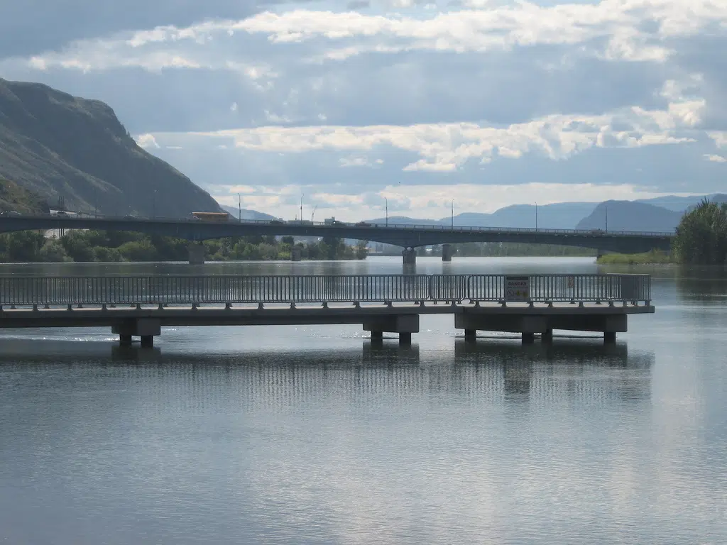
The Riverside Park Pier in May 2020. (Photo via Victor Kaisar)
Preparations are underway for the ‘potential’ for severe flooding in Kamloops in around two-weeks time, though City staff say it is all dependent on what Mother Nature throws at us.
“I’m probably the only guy in Kamloops looking at 23 C and rain saying ‘yay,’ but that will lead to very controllable melt,” Utility Services Manager Greg Wightman, said Tuesday. “And that is something we’re hopeful is going to start to lessen this risk a little bit.”
Wightman was updating City Councillors during a Civic Operations Committee meeting Tuesday, saying the latest expectation is that the North Thompson River will likely peak in a couple of weeks.
His comments came just hours after the BC River Forecast Centre issued a high streamflow advisory for the North Thompson River. This morning, the River Forecast Centre updated snowpack levels in the North and South Thompson basin, both of which are well above the seasonal average for this time of year.
“A high streamflow advisory means that river levels are rising or expected to rise rapidly, but no major flooding is expected. So it’s a real early heads up for everybody living along that watercourse to just be aware, be cognizant,” Wightman added.
The biggest concern, he says, is the North and South Thompson rivers peaking at the same time, though Wightman notes if the weather holds as it has been – the flooding shouldn’t be as bad as first predicted.
“This year, the thing that’s been really fortunate since about the May long weekend is we just haven’t had those drastic weather events,” he added. “So you got a very smooth increase, a smooth line. And that’s giving us a little bit of comfort right now.”
“If we can get through the next eight or nine days with a forecast that I’m excited about, I think we’ll be in much better shape than we’ve been looking at all year.”
In years of heavy flooding, like 1972 and 1999, Wightman says there were some drastic weather events that lead to “peaks and valleys” in the river levels, though he also noted that there are some wildcard threats still out there this season.
“Extreme heat, four to five days of above average temperature, severe thunderstorms would certainly lead to an increase in the rivers [and] flash flooding like we saw last Tuesday in town,” he said.
The city has been warning of the potential this year for the level of flooding which Kamloops saw in 1999, which is commemorated on the flood markers in Riverside Park.
“[We’re looking at] closing pathways. The pathway behind the Sandman Centre is usually the first one that gets closed,” Wightman said. “I would guess we’re probably two or three days away from water hitting that.”
Speaking on the NL Morning News last week, Mayor Ken Christian too urged people to park the boats as water levels increase.
“Closing boat launches, I know, generates a ton of opposition every time [but] it is done for safety,’ Wightman said Tuesday. “Kamloops Fire and Rescue cannot effectively rescue people when the water gets to a certain elevation because they can’t get their boats under some of the bridges out on the river.”
“It is purely done for safety but it does have the benefit of limiting wave action on the rivers.”
The City has made sand and sandbags available at a number of locations, with Christian also urging people to inspect their dikes and move things to safety, if needed.
Similarly, the Thompson-Nicola Regional District is also urging people to prepare for rising waters due to the annual spring freshet. It too says sand and sandbags are available in areas where flooding is anticipated.
“We have had a cooler than normal spring in the TNRD, which has delayed the snowmelt in upper elevations by multiple weeks,” TNRD Emergency Program Coordinator Kevin Skrepnek, said. “These conditions have led to an extremely high snowpack in certain areas, and an elevated flood risk from melting snow.”
The TNRD says to expect higher-than-normal flows in the North and South Thompson Rivers in particular, though smaller tributaries could also be impacted by heavy rain.
It also says areas that were impacted by floods or wildfires last year could be particularly vulnerable to flooding this spring.
– With files from Paul James


