


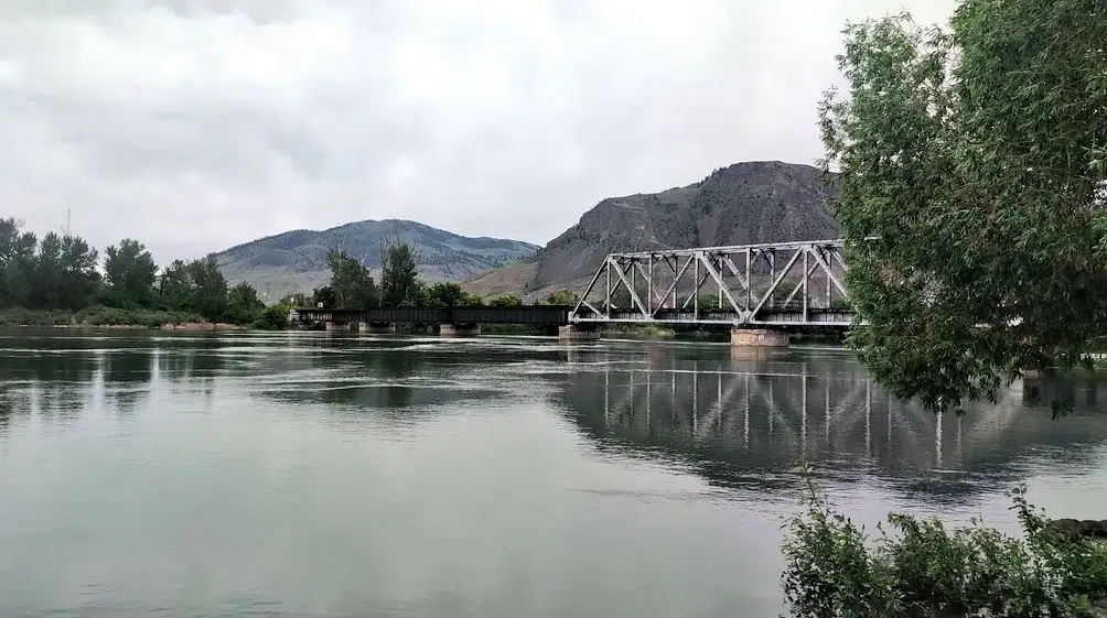
High water on the Thompson River in Kamloops on June 9, 2022 (Photo via Victor Kaisar)
The BC River Forecast Centre has upgraded a high streamflow advisory to a flood watch for some tributaries of the South Thompson River, but not for the river itself.
Monday morning, it said the flood watch is in place for the Seymour, Eagle, Adams, and Shuswap rivers and their surrounding tributaries, with the South Thompson River still under a high streamflow advisory.
“Environment and Climate Change Canada has issued a Special Weather Statement for the region, anticipating prolonged rainfall Monday into Tuesday, with precipitation totals the 20 to 40 mm, and potentially more over higher terrain,” the River Forecast Centre said, noting stream levels have risen because of recent snowmelt.
“River levels are expected to see increased rates of rise later Monday and into Tuesday in response to on-going snowmelt and additional runoff from rainfall, and later into the week for lake-fed river systems. On the South Thompson River, on-going moderate rises are expected through the week.”
The North Thompson River – and its tributaries around Barriere and Clearwater – are under a flood watch, which was put in place on Saturday.
The District of Clearwater has activated its Emergency Operations Center, with Mayor Merlin Blackwell, saying people in his community should take note of the situation.
“I’m not deeply concerned yet… seen water 2-3 feet higher,” he told NL News on Sunday. “But if it keeps raining and the snowmelt suddenly speeds up we could have some issues.”
The City of Kamloops is closely monitoring the North Tho0mpson River in particular.
“We’re monitoring the Boss Mountain snow index. Once it becomes snow free, it is usually a week after that that the North Thompson peaks,” Utility Services Manager, Greg Wightman said.
“If we’re able to get the peak of the north before the peak of the south, and they don’t synchronize, we’ll be in a lot better shape. If its looking like they are going to peak at the same time, that just increases the elevation of the water.”
“Based on everything we’ve heard from the River Forecast Centre from Boss Mountain becoming snow free, it is seven days for the North Thompson to peak. That doesn’t necessarily mean it is seven days to get water from Boss Mountain to the Overlanders Bridge, but the peak of the river is usually seven days after that. We’ve using that as a guide right now and really optimistic that that may happen before the South peaks.”
The North Thompson usually peaks around June 6, with the South Thompson peaks around June 22 or 23.
Hoping to avoid what he called the synchronization of the peaks, Wightman says this year the North Thompson is expected to peak by the end of June, with the South expected to follow sometime in the end of June or early July.
“There is probably about a one week buffer there and again, we’re just hoping that the weather forecast cooperates with us here and we don’t get any significant rain or heat events,” he said.
The City of Kamloops has made sand and sandbags available at a number of locations. The Thompson-Nicola Regional District is also urging people to prepare for rising water, with sand and sandbags available in areas where flooding is anticipated.
East of Kamloops, high streamflow advisories have been issued in the Okanagan, including Mission Creek and tributaries east of Vernon, Kelowna, Penticton and surrounding areas.
Advisories are also in place for the Boundary region – including the West Kettle River, Kettle River, Granby River and surrounding tributaries – and the Similkameen River including the Tulameen River and its surrounding tributaries.
“A low-pressure system is migrating across the Canadian prairies, leading to wrap around moisture back in the British Columbia,” the River Forecast Centre said. “This expected to bring a period of wet weather to the region on Monday into Tuesday.
“While the heaviest rain is expected further east into the Kootenays, moderate rainfall is anticipated through the South Interior. Rainfall amounts in the 20 to 40 mm range are expected Monday through to Tuesday, with higher amount possible over higher terrain and in localized areas.”


