


Get ready for the first hot stretch of the summer in the BC Interior.
Environment Canada has issued a special weather statement for the area as it says people can expect daytime highs rising into the low to mid 30’s with overnight lows down to the mid-teens starting Saturday until at least early next week.
“The BC Interior will experience its first stretch of warmer than average temperatures beginning this weekend,” the weather agency said, in a statement.
“On Saturday, temperatures will reach into the upper 20’s. For the remainder of the weekend and early next week, temperatures will rise into the low to mid 30’s. Overnight lows will fall to the mid-teens.”
Environment Canada says there could be increased stream flows due to run-off as freezing levels rise given the increase in temperatures.
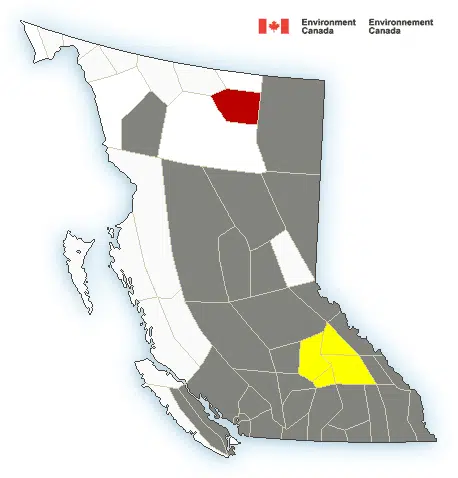
The special weather statement covers much of the province – including all of southern and eastern B.C., eastern Vancouver Island. Northwest B.C. and the North and Central Coast do not have any alerts in place at this time.
“With elevated temperatures, the risk of heat related illnesses increase,” Environment Canada said, noting temperatures are expected to return to near-normal by the middle of next week as a cooler, unsettled airmass pushes onshore.
Severe thunderstorm watch issues for parts of B.C.
Environment Canada has also issued a severe thunderstorm watch for the North Thompson, the Shuswap, and the North and West Columbia regions.
It says conditions are favourable for the development of severe thunderstorms that could lead to strong wind gusts, large hail, and heavy rain.
For the latest on the weather alerts from Environment Canada, go here.


