


An Environment Canada meteorologist says he is glad the forecast for next week has gotten more favourable.
While there was the potential for 40 C weather in parts of southern British Columbia on Wednesday and Thursday of next week, Doug Lundquist says it will now be more manageable.
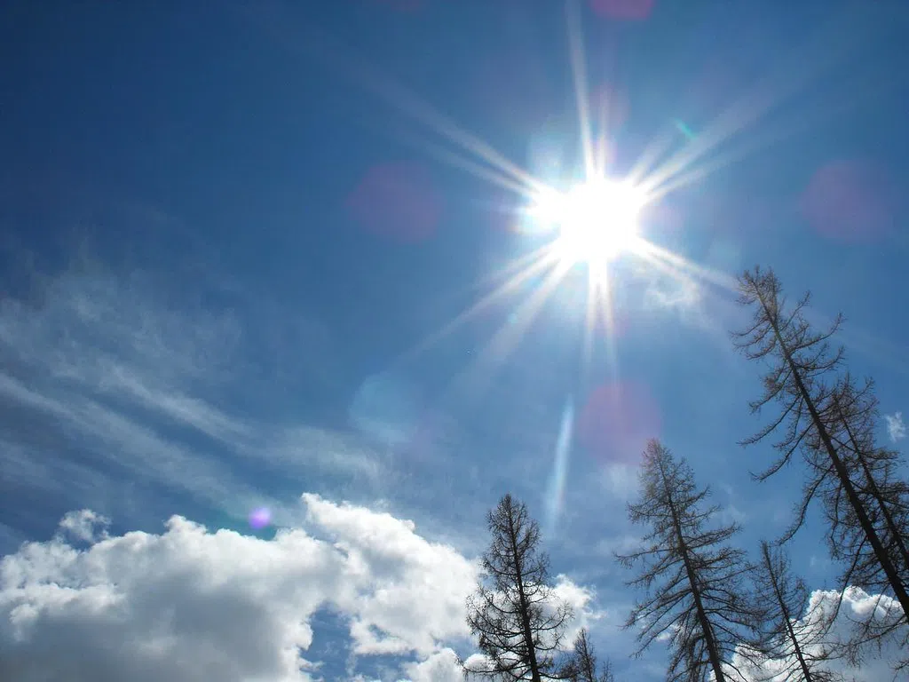
He tells NL News the day time temperatures in places like Kamloops and Osoyoos will be in the high 20s to the low to mid-30s.
“Really glad it has pulled back. We have thundershowers and showers around – just a few isolated ones – today but it is mostly diminishing on the way to warming up so it going to be a good stretch of warm weather,” Lundquist said.
“There is extreme heat just southeast of us so we’re really lucky that the whole pattern maybe moved 100 km further south.”
Lundquist is still urging caution as temperatures in parts of the province are close to heat warning thresholds.
“The overnight lows that we are forecasting Monday through Wednesday are very close to our warning criteria, so we are still a little worried about it, but right now it is looking about as ideal as you can get,” he said.
He is also expecting a couple of cold fronts to come on Tuesday, Wednesday, and maybe Friday of next week.
“The nice things about these cold front this time of the year is that they tend to cool us off,” he said. “We still haven’t had a long enough heat period but I know the wildfire folks are still crossing their fingers that it will take a little while to get really serious.”
“It doesn’t take long for the smaller things to dry out so already we’ll have to watch for things next week.”


