


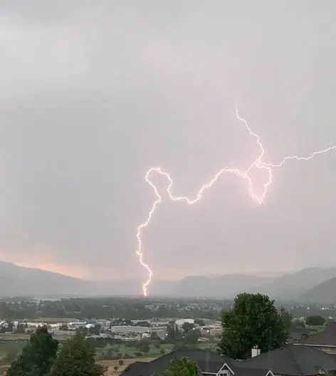
A lighting strike during a thunderstorm in Kamloops on Aug. 11, 2022 (Photo via Karen Shelton)
Environment Canada has issued a special weather statement for much of the BC Interior because of widespread gusty winds and the risk of thunderstorms today into Friday.
It says a dry cold front passing through the Southern Interior will lead to strong winds from the southwest with gusts up to 50 km/hr on Thursday morning. Winds are then expected to shift to the northwest by midday or overnight Thursday and into Friday.
“Instability along the cold front may lead to the development of thunderstorms Thursday afternoon and evening,” Environment Canada said. “The main hazard is localized severe winds with speeds up to or above 70 km/hr and dry lightning.”
Environment Canada says it could mean worsening wildfire conditions, possible new fire starts, risk of breaking tree branches, and some challenging boating conditions.
“Drought-stricken trees will be more susceptible to winds,” it said.
Environment Canada has also issued numerous highway alerts, including on the entire Coquihalla, the Okanagan Connector, the Cariboo Highway from Clinton to 100 Mile House, and the Trans Canada Highway from Eagle Pass to Rogers Pass. It too warns of widespread gusty winds and the risk of thunderstorms
As of publishing, a special air quality statement is also in effect for much of the BC Interior, while heat warnings also cover places like Kamloops, the North and South Thompson, the Shuswap, the Fraser Canyon, the Okanagan, and the South Cariboo.
You can find the latest weather alerts from Environment Canada here.


