


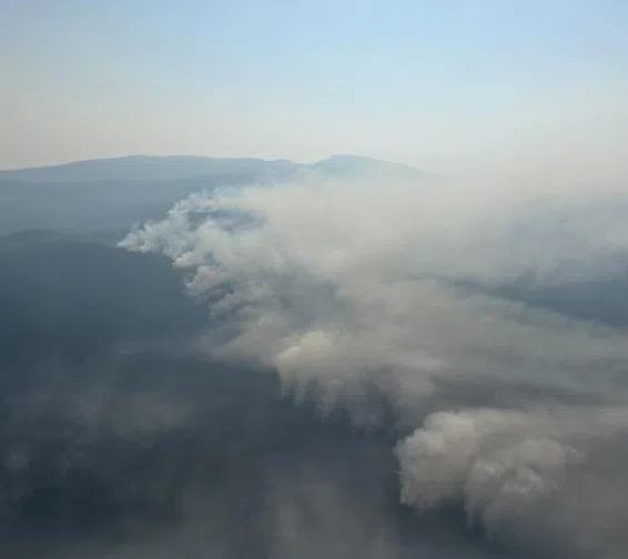
The northeastern edge of the Mine Creek fire, which jumped across the Coquihalla on Wednesday, burning on either side of the roadway/via BC Wildfire Service
Be prepared for the Coquihalla to potentially be shut down beyond today.
The BC Wildfire Service’s latest mapping now shows the so-called Mine Creek Fire, which broke out Monday from a lightening strike, took a dramatic jump on Wednesday.
The blaze — which had been burning mostly toward the west away from the Coquihalla — made a dramatic U-turn Wednesday, moving east and jumping over the major north-south roadway and into areas east of the route.
The BC Wildfire Service says at this point there doesn’t appear to have been any damage to the roadway itself.
However, with the fire burning on both sides of the Highway, the likelihood of the Coquihalla reopening to traffic in either direction for at least Thursday seems unlikely.
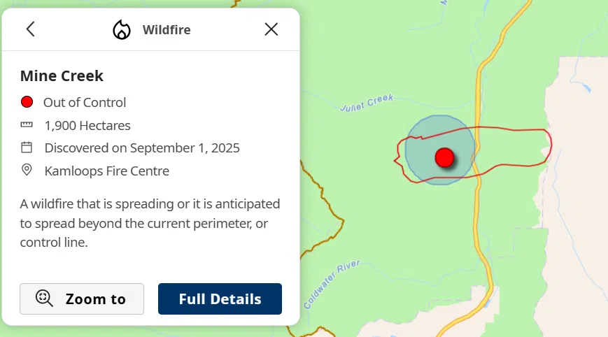
Map showing size and new outline of the Mine Creek fire, which crossed over the Coquihalla Wednesday/via BC Wildfire Service
DriveBC is due to provide an update on the the Coquihalla mid-afternoon.
The Mine Creek fire is now listed at 1,900 and still listed as out of control, with around 30 personnel — including structure protection crews — on the ground, as well as air support.
Wildfire Service says while similar conditions are expected in the fire zone today as there was on Wednesday, the area the fire has expanded into is a bit more accessible.
“The fire was burning in unsafe and incredibly inaccessible terrain due to the floods and fires a few years ago [2021 atmospheric river event], roads and bridges were washed out,” noted Cassidy Martin with the Kamloops Fire Centre. “With that fire moving across [the Coquihalla], crews were able to actually get in a bit closer.”
Radio NL has calls out to the Ministry of Transportation and Transit for more information on the extent of the Coquihalla’s shutdown and any concerns it may have connected to its infrastructure in the area.
The fire has put dozens of properties in the area under alert by Thompson Nicola Regional District, with people in one property forced to leave their home on Wednesday evening.
-
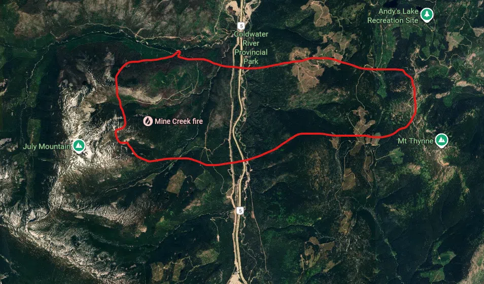
- Topographical view (north-south) of area Mine Creek fire is burning/via Google Maps (with info from BC Wildfire service)
-
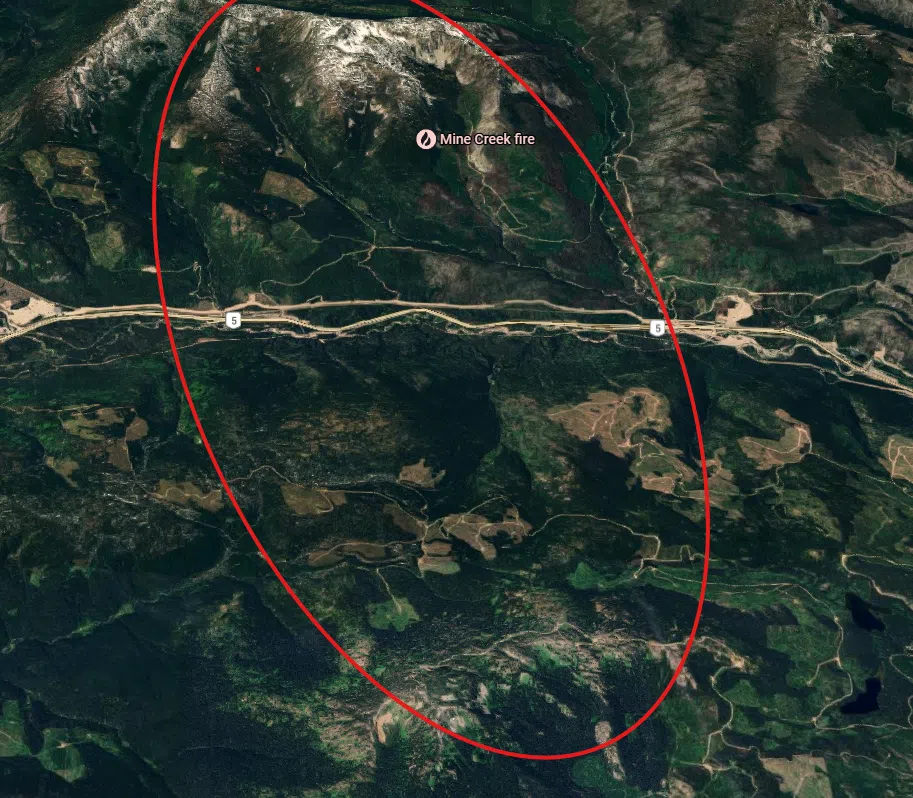
- Topographical view (east-west) of area where Mine Creek fire is burning/via Google Maps
-
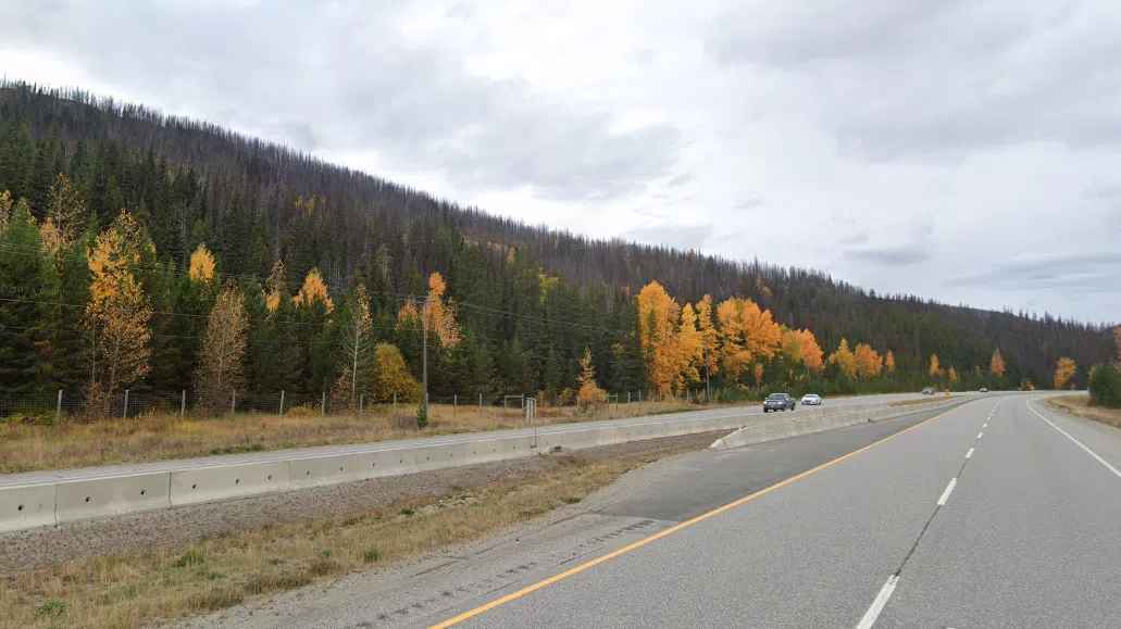
- Ground level view southbound wooded area where the Mine Creek wildfire crossed over into on Wednesday/via Google Maps


