


UPDATE: Just over an hour after issuing the warning, Environment Canada has now ended its Severe Thunderstorm Warning:
“Severe thunderstorms have weakened or moved out of the region,” said the Weather office as of 7:39pm on Sunday.
ORIGINAL:
A warning has been issued for those living in the north Shuswap, particularly in the Celista area.
As of 6:22pm: “Environment Canada meteorologists are tracking a severe thunderstorm capable of producing heavy rain,” warned the weather office.
“There is a heightened risk of debris flows over areas impacted by burn scars, in particular the area from the 2023 Bush Creek wildfire,” cautioned Environment Canada.
“This thunderstorm is located along the higher terrain of Celista and is slowly moving south at 10 km/h, where heavy downpours are possible.”
“Heavy rain may cause flash flooding and significant reductions to visibility.”
Environment Canada is warning of flash flooding.
“Fast-moving and rapidly rising water can sweep vehicles away and damage infrastructure,” cautioned Environment Canada. “Weather in the mountains can change suddenly resulting in hazardous driving conditions.”
“Severe thunderstorm warnings are issued when imminent or occurring thunderstorms are expected to produce damaging hail, wind or rain,” added the weather office.
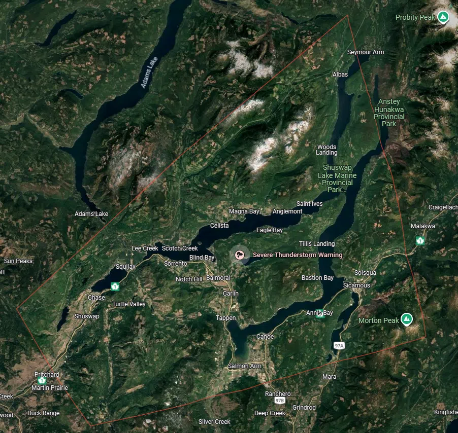
Area which had been under Severe Thunderstorm Warning/via Google Maps


