


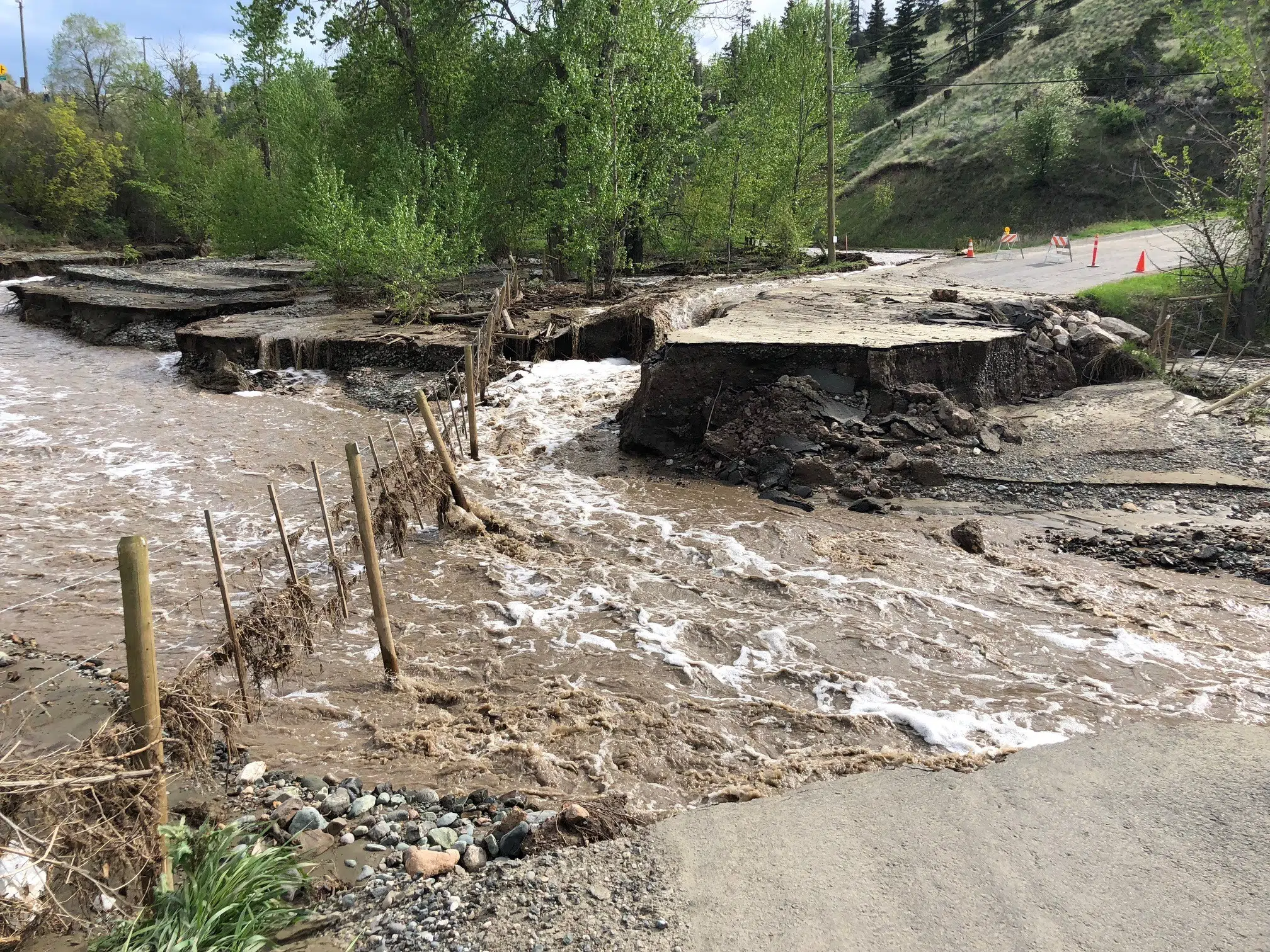
A sustainability group in B.C. says flood mapping in the Thompson River watershed needs a lot of updating.
The Thompson regional manager with the Fraser Basin Council Mike Simpson brought that message to the Thompson-Nicola Regional District board last week.
As a result the TNRD has applied for flood-map funding for the whole watershed, which spans 5.6-million-hectares, or six per cent of B.C.
“We’ve got a real patchwork of information. In terms of, some places have current info mostly in the municipalities where lots of people live. But there’s lots of places that have really old, outdated flood mapping information or no information at all.”
Simpson says the group has been doing a flood risk assessment in the Thompson River watershed for more than a year, which is expected to be completed in March of 2019.
“The next logical step beyond this risk assessment is mapping of where floods would be. Focusing on places where there’s values, property, life, infrastructure at risk.”
The grant requested is for $250,000 dollars and would be split between the TNRD and the Shuswap-Columbia, Cariboo and North Okanagan regional districts, which all are part of the Thompson watershed. Sixty per cent of the funding, $150,000, would go to the TNRD if the grant is approved, since it encompasses the largest area in the watershed.


