


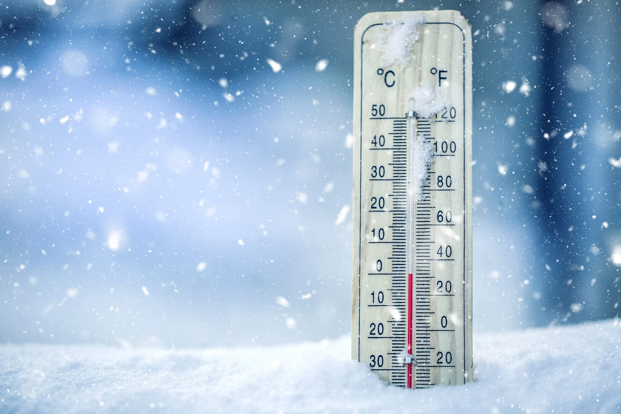
If you’re hoping for temperatures to return to normal any time soon, you’re out of luck.
Average temperatures this February have been between 5 and 10 degrees below normal, and this cold snap could last all of February.
“Maybe towards the end of the month, we might come back up a bit closer to normal temperatures, that is a bit closer to highs you know in the 3 to 4-degree range,” said Carmen Hartt, with Environment Canada.
“But we’re not seeing any signal of any warm trends of anything about that range.”
For instance, the forecasted high today in Kamloops is -5 degrees, while the normal temperature is around 4 degrees.
It’s all because of a high-pressure system over much of the BC Interior.
“And then we have the low-pressure systems that are tracking along the coast, and those are what bring the weather,” she added. “So that’s what’s coming through Thursday and Friday and on Saturday.”
“That’s going to bring some snow but that high pressure is bringing the cold, and that’s been pretty persistent through the month of February – that cold, high pressure.”
These cold temperatures are before any wind chill values – with wild chill touching -18 tonight and tomorrow morning.
Environment Canada is calling for 5cm of snow in Kamloops tonight, and another 5cm tomorrow.


