


Forecasters are telling people in the Kamloops area to watch out for a potential light show today.
Environment Canada meteorologist Doug Lundquist says a severe thunderstorm watch is in place for the South Thompson, the Coquihalla from Kamloops to Hope, the Fraser Canyon, the Okanagan Connector and other nearby areas.
“There’s an upper low moving in, and it’s bringing with it cold air. That combined with the really hot sun we have here mid summer can result in severe thunderstorms. And it’s just that combination today that is giving us concerns,” Lundquist says.
“We’re not 100 per cent sure they’ll happen everywhere or that we’ll for sure get a severe thunderstorm. If we do later on today we’ll put out a warning for that. But we want people to watch for that potential, and what we’re thinking about is, this afternoon we’ll for sure have thunderstorms develop and some of them could be severe.”
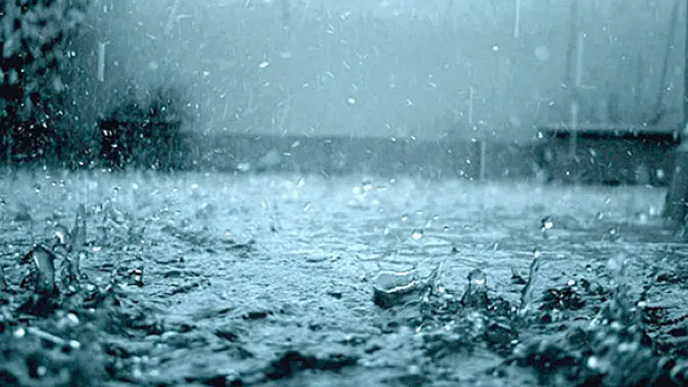
Lundquist says thunderstorms are more likely on higher terrain, and he says any storm could bring up to 15 millimetres of rain if it develops. He says a similar risk of a thunderstorm will continue tomorrow which currently is forecast to bring up to 10 mm of rain in the Kamloops area if it happens.
Good map showing areas with thunderstorm threats today, including severe in places such as #Kelowna #Kamloops. If you have to be out on the roads, please drive to conditions. https://t.co/v16A7GArxC
— BC Transportation (@TranBC) June 26, 2019


