


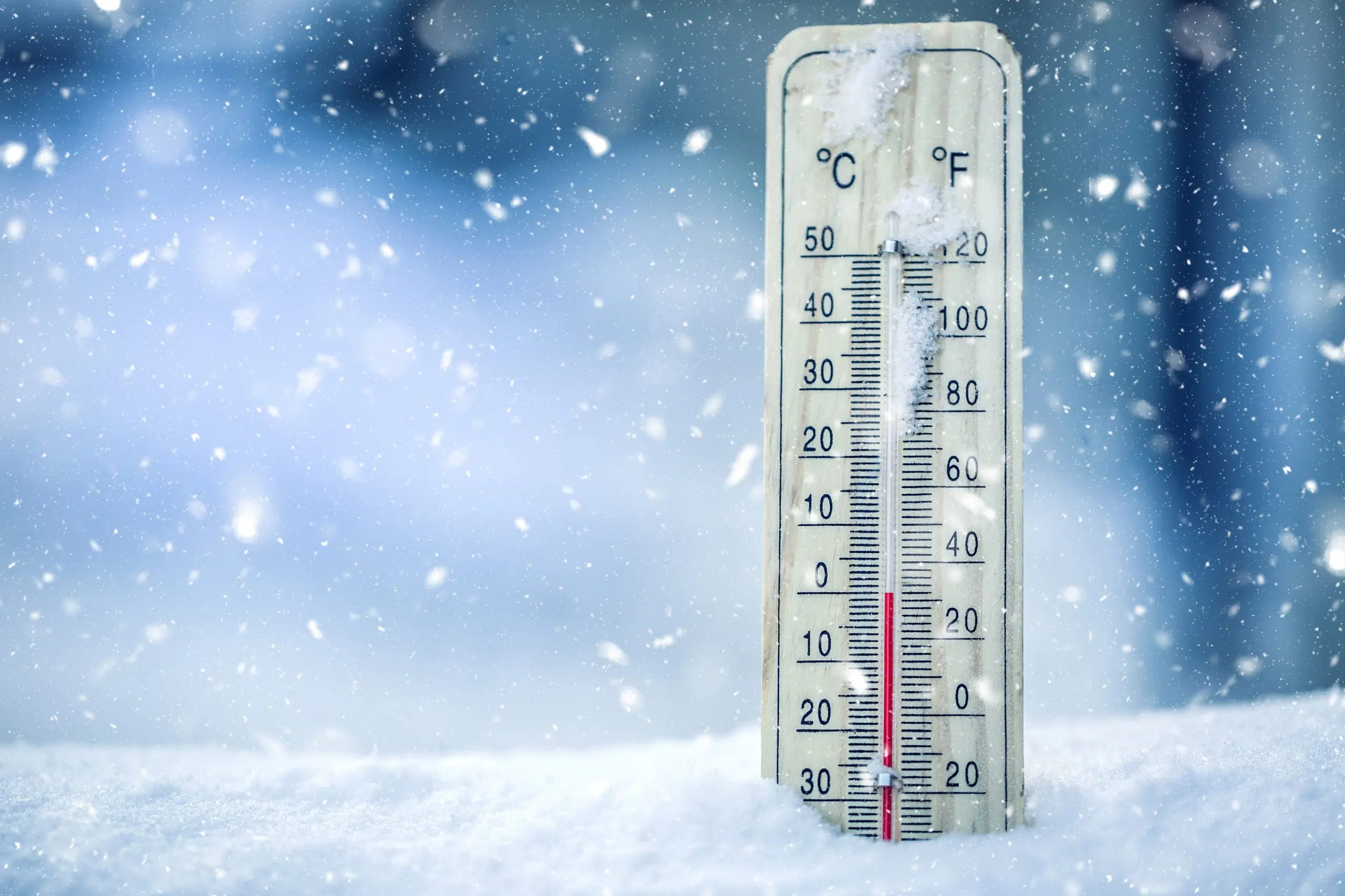
Environment Canada says the overnight low of -24 C last night was about as cold as it has ever been in Kamloops in the last 15 years.
However, meteorologist Doug Lundquist says there is a chance it could get even colder tomorrow night, as the the overnight temperatures could hit – 30 C.
“We’d have to go back maybe 15 years to see – 28 C in the Kamloops area in Jan. 2005,” he said, adding people could expect a few more really cold nights in Kamloops, before things begin to start warming up on Friday heading into the weekend.
“We’re forecasting Tuesday night to Wednesday to be the coldest and then it will start to modify in the middle of the week, and maybe with a bit of snow on the weekend as we really try to warm up, perhaps getting close to 0 C by early next week, Sunday or Monday,” Lundquist said.
He notes this cold snap extends from the Yukon all the way to Oregon, and he is urging people to dress warm when outside.
“I’d consider this deep arctic air when we have day time highs only around – 20 C and lows approaching -25 C to -30 C. But already by Thursday we are forecasting a high of -15 C and the low not going below -15 C overnight,” Lundquist said.
“So it’s just another couple of days of this really cold stuff.”
He says temperatures in Kamloops got down to -25 C in Jan 2017, and -26 C in Dec 2008, noting though it has gone down as low as -35 C in the past, so the current cold snap is not expected to set an all-time record.
Good Morning #Kamloops – here’s your 5-day @environmentca for what’s going to be a chilly week ahead. pic.twitter.com/0U6ys782Ml
— RadioNLNews (@RadioNLNews) January 13, 2020


