


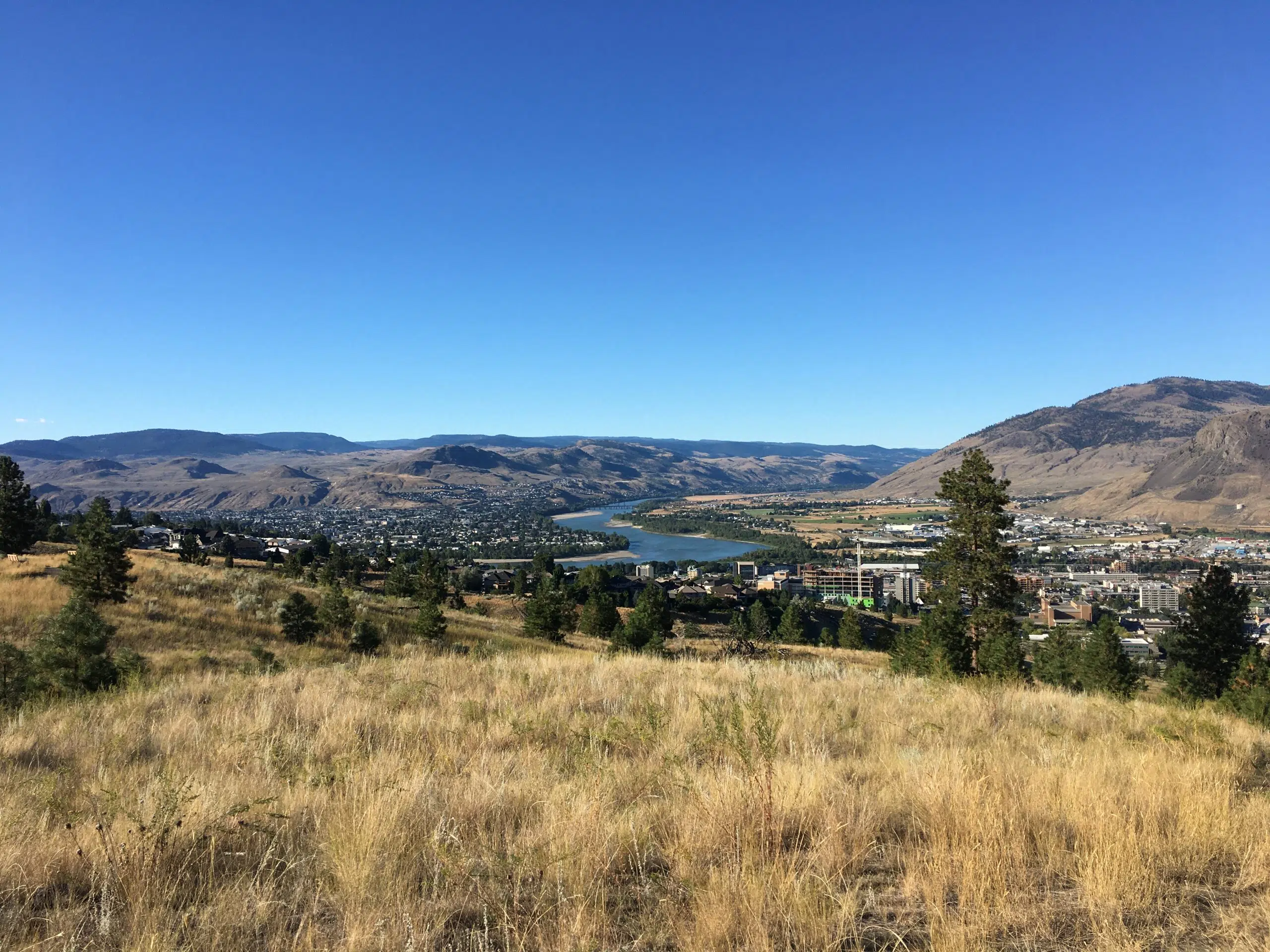
Kamloops is about to get hit with a heat wave, and that’s prompted a special weather statement from Environment Canada.
Daily temperature highs are expected to hit at least 30 degrees from Wednesday until Sunday.
Forecaster Bobby Sehkon says we might break some heat records.
“The record temperatures over the next few days are in the low-to-mid 30s, so there is a possibility that we could approach records over the next few days for Kamloops. If we don’t get records, we could get the top-five warmest days on record. So nonetheless, it does seem like a fairly hot stretch for this time of year.”
Sehkon says daily temperatures should be five-to-10 degrees above normal in the upcoming days, and he says overnight temperatures will cool off to about 13 degrees, which is about five degrees warmer than normal.
He says this is unusual, but not unheard of, saying we saw a similar heat wave in 2011.
The heat wave is also expected to hit the Shuswap, the Nicola Valley, Gold Country, and the Fraser Canyon.
Meanwhile, there’s no significant wildfires burning in the Kamloops area but wildfire smoke is prevelant in some parts of southern B.C. right now, because of fires burning in Washington state and Oregon.
Sekhon says that Kamloops should be spared of that.
“From what we can from our models and satellites is the smoke should stay south of Kamloops. It will be fairly close because as we know the Okanagan valley is quite socked in… We are expecting a bit of a change in the weather pattern, and hopefully that will take a bit of the smoke away.”
Right now, the Okanagan, the Lower Mainland and southern Vancouver Island are dealing with heavy smoke, and an air quality statement is in effect for those places.


