


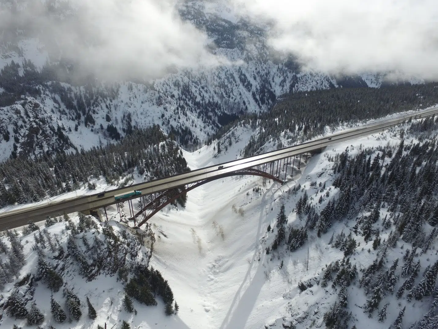
The Coquihalla Highway in winter. (Photo via Tran BC)
The Kamloops-area is bracing for some significant snow, with as much as 15 cm expected to fall in the valley bottoms overnight tonight, Jan. 5, into tomorrow morning.
“We can rack up somewhere between 8 and 15 cm in the valley bottom, depending on what neighbourhood you live in but over the high terrain like the Coquihalla especially between hope and Merritt, it could be more like 30 cm,” Environment Canada meteorologist Doug Lundquist told NL News.
He says this sort of snowfall is normal when the weather turns from its recent chilly pattern to a more temperate one.
“Right now it is in the minus teens, but we’re going to have temperatures by the latter half of the weekend into early next week above zero. The big push on the warmup is tonight but that means heavy snow,” he added.
“So starting sometime this evening in the high terrain and into the valley by midnight and its going to continue through the night and day tomorrow.”
A snowfall warning is in place for the Kamloops area with winter storm warnings in place for the Coquihalla from Hope to Kamloops, the Okanagan Connector, and the Trans Canada Highway from Eagle to Rogers Pass. Snowfall is expected to ease off to flurries on Thursday afternoon.
“It is a time to perhaps stay off the roads once it starts,” Lundquist noted.
If you do have to travel, people are being told to drive to the conditions and to expect things to change at a moment’s notice.
For the latest weather alerts from Environment Canada, go here. For the latest road conditions, check Drive BC here.


