


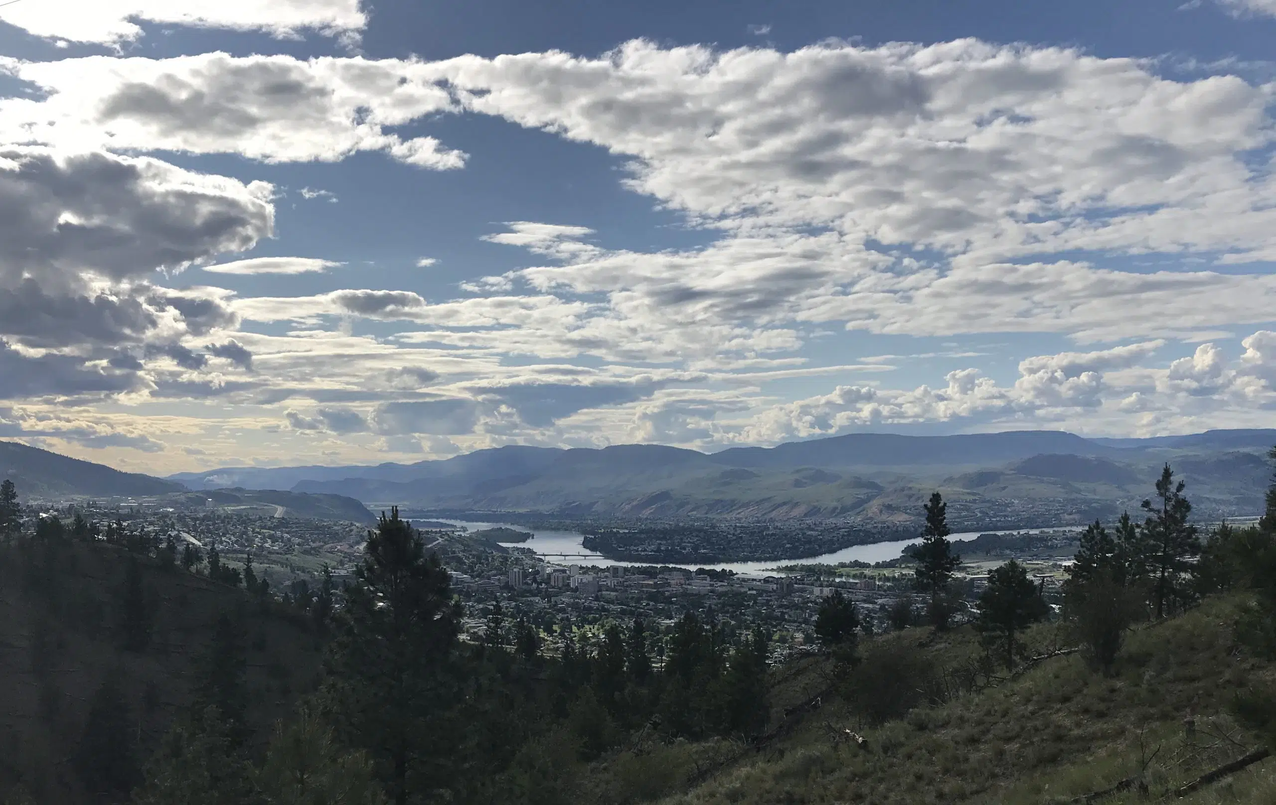
If you aren’t a fan of the recent heatwave, Environment Canada says things will cool down back to more seasonal conditions starting today.
There is the risk of a thunderstorm in the Tournament Capital today and tomorrow, but meteorologist Doug Lundquist says temperatures are expected to be around the 28 C mark on both days.
“The last two or three times that I noticed, it is the weekends that are better, so we are forecasting more sun for Saturday and Sunday with highs into the mid to high 20s, maybe getting close to 30 again in some places on the weekend,” he said.
“So Thursday and Friday is the showery weather and then Saturday and Sunday is looking much nicer.”
Lundquist adds temperatures in Kamloops are also expected to be in the mid-20s to start next week, with the forecast also calling for a mix of sun and cloud.
“It doesn’t look like the ridge rebuilds with any sort of strength over the next ten days or so, so like no 38 C, and possibly past the middle of August, even if we get a strong ridge now, its really hard to warm up towards the 40s, so we are on that downhill slide for day time highs,” he noted.
And Lundquist says he hopes the cooler weather and rain will help on the wildfire front in the province.


